

Craigmore
Craigmore is a striking, rugged hill dominating the Aberfoyle skyline. A rocky craggy mound, with a flat summit, Craigmore is the first hill seen by visitors to this part of the Loch Lomond and Trossachs National Park.
Description of walk
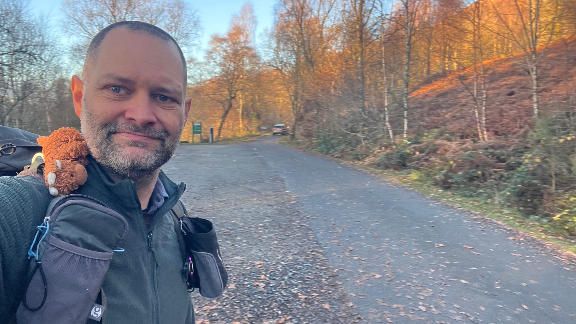
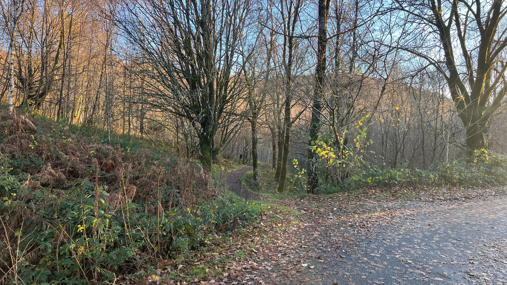
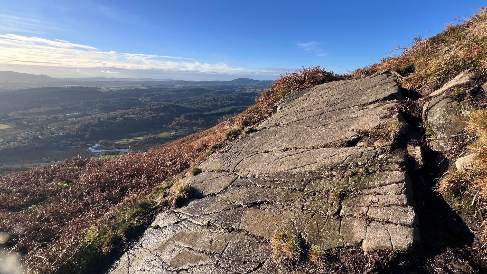
Starting at The Lodge Forest Visitors Centre, follow the forest path located on the northeast corner of the car park until you reach the trail on your right, next to a small berm. Follow the path past the waterfall on your right until you arrive at A821 Dukes Pass. Cross the road and continue along the path directly ahead. The path is well-maintained and gradually winds uphill. Eventually, you will reach a bench offering your first views over the lowlands.
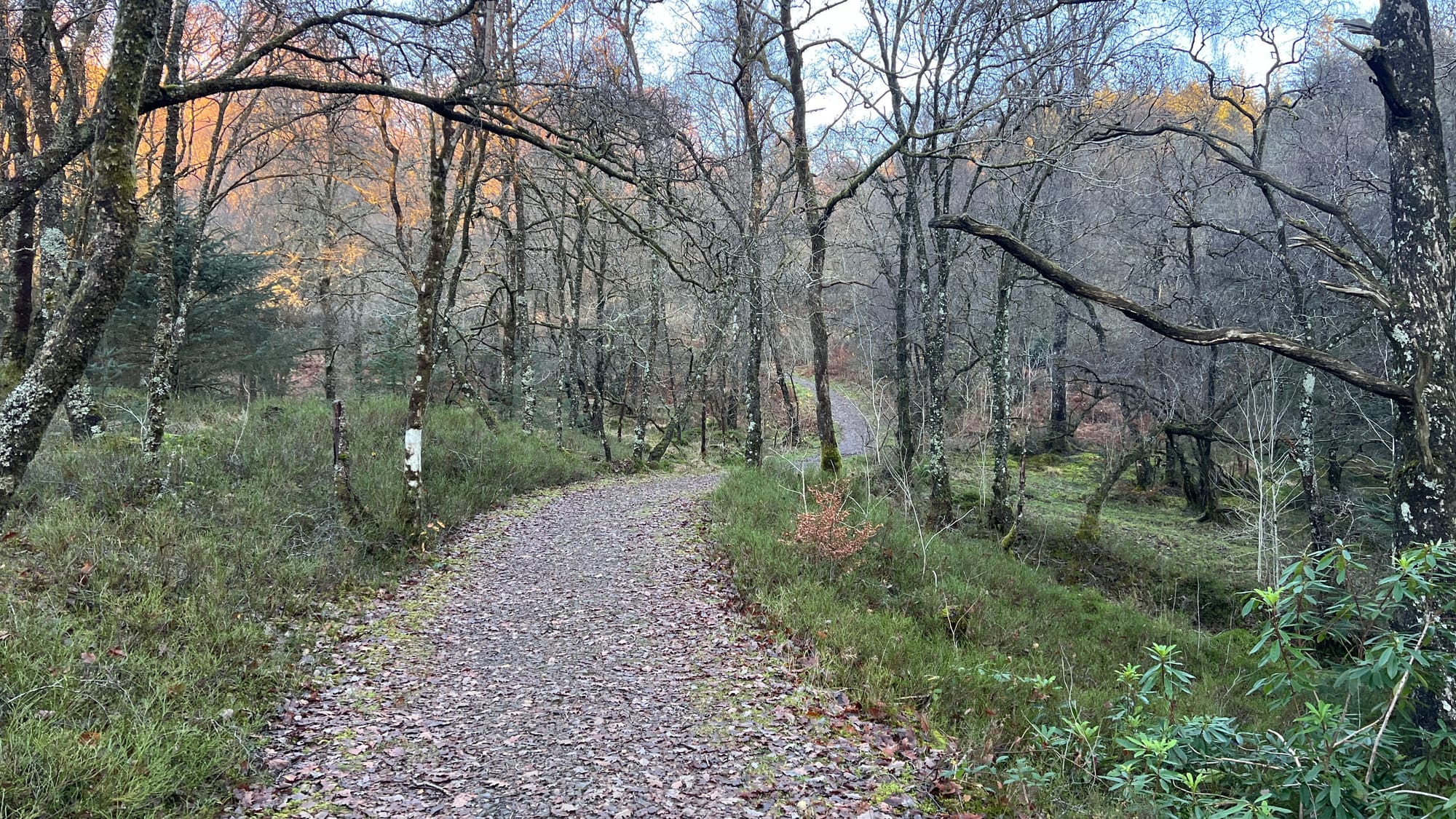
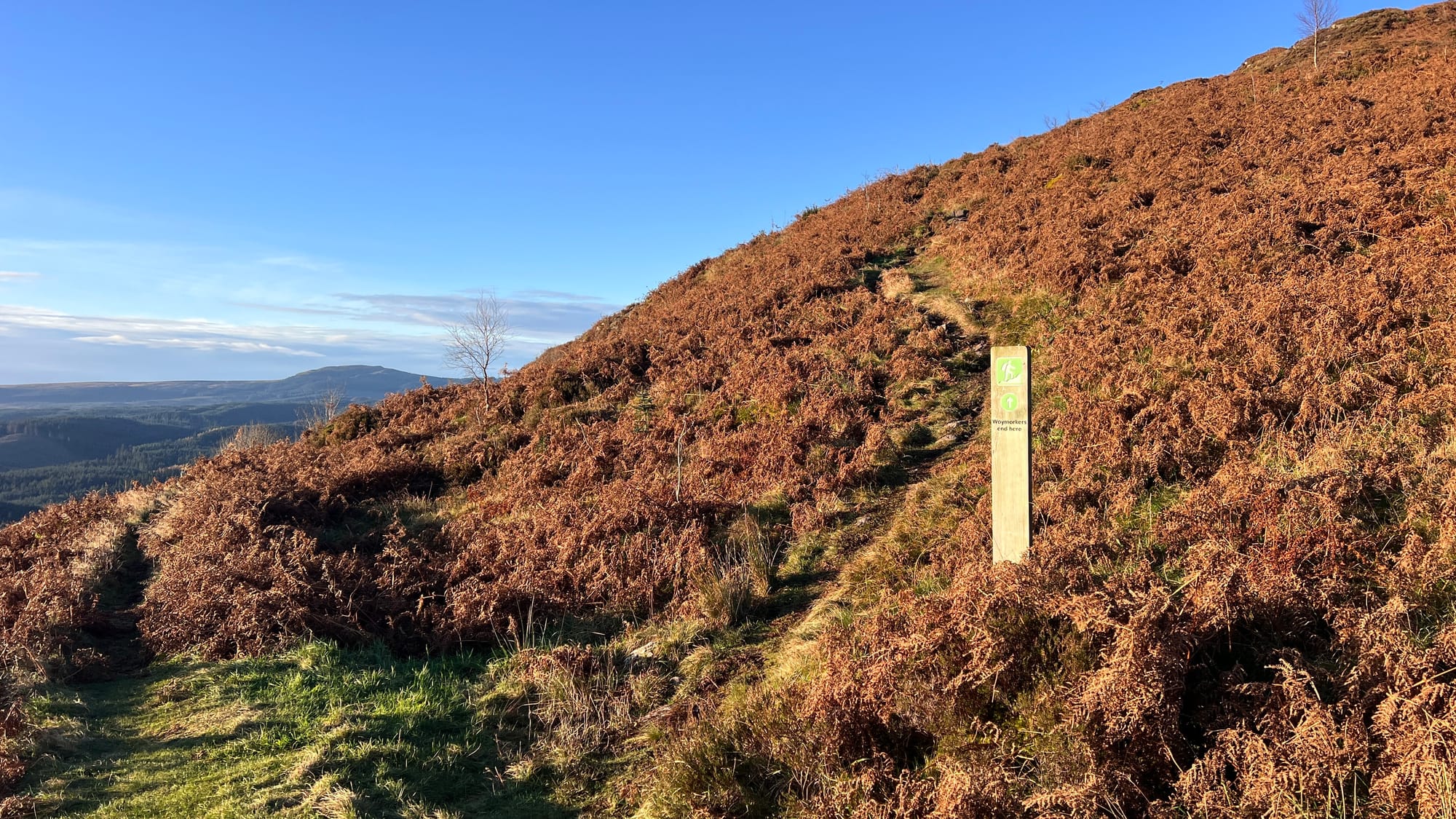
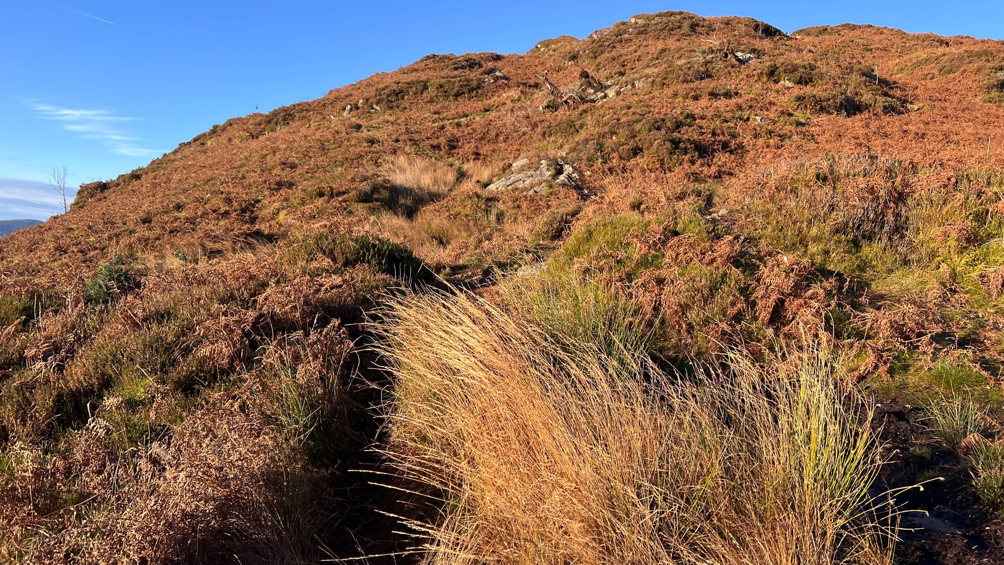
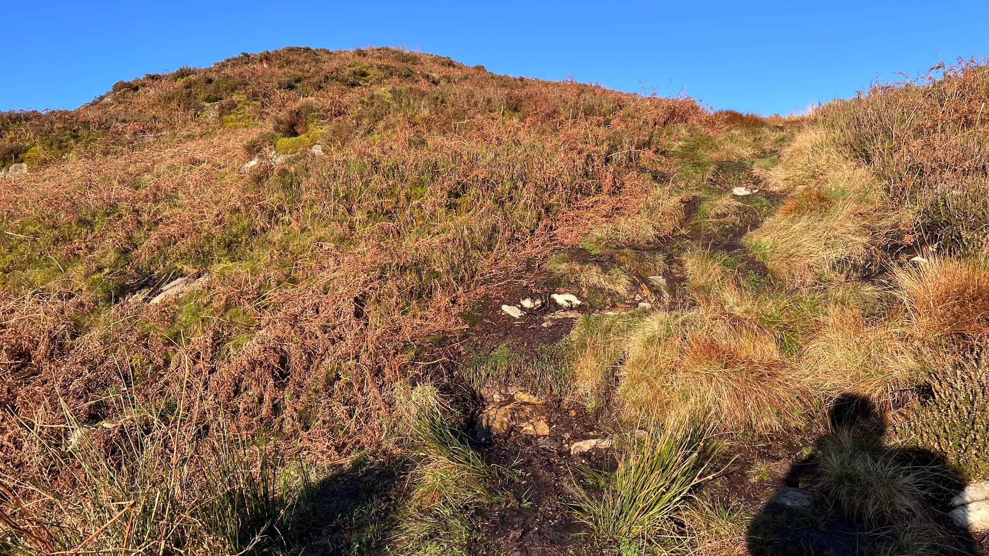
When you leave the bench, follow the trail uphill and take a moment to notice the sign reminding you that the trail isn't marked beyond this point. The path then becomes a bit more adventurous, featuring a steep incline that can be pretty wet and boggy in places. You'll find some lumps, bumps and rocks along the way, so take your time and be cautious—especially if the ground is icy.
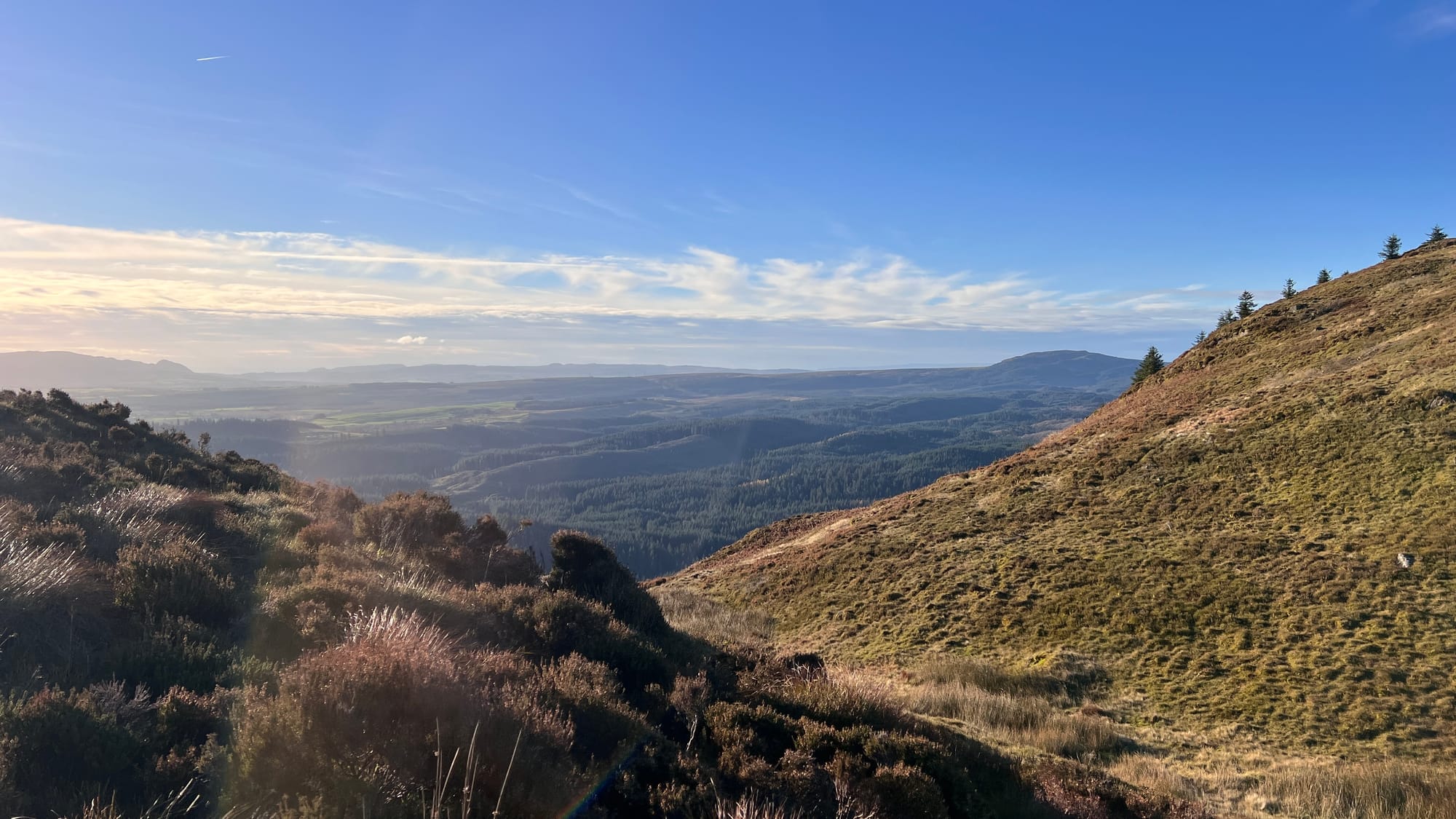
Following the trail, the summit comes with little warning, marked by a tiny cairn that sometimes disappears, perhaps by locals who remove it, before it reappears some time later! The most noticeable feature upon reaching the summit is the view ahead of you over Loch Ard towards Kinlochard.
The return route follows the same path, although there are plenty of options to make this a circular walk through Aberfoyle or back to the start point at the David Marshal Lodge.
How hard is Craigmore?
Moderate
Craigmore is not particularly demanding; however, it can become very wet and boggy in the second half. The first half follows waymarked forest and hill paths, with the second half being a rough, undulating hill trail.
Time and distance
- 2.9 miles (4.6 km)
- Allow 3 hours
Getting to the start
There is a large pay and display car park at The Lodge Forest Visitors Centre, operated by Forestry and Land Scotland
- Open the start location in Google Maps
- Address: The Lodge Forest Visitors Centre, Trossachs Road, Aberfoyle, Stirling FK8 3SX
- what3words; ///daunted.simulator.anguished
There is a regular bus service to Aberfoyle from Stirling on the C11 and from Glasgow on the X10A.
Weather forecast for Craigmore
Get the latest weather forecast for Craigmore.
- Met Office - Aberfoyle
- Met Office Mountain Weather - South West Highlands
- Mountain Weather Service (MWS) - West Highlands
OS and Harvey maps
A range of Harvey maps covering Craigmore is available here.
GPS routes
The GPS route is available on OS Maps for use with your smartphone. Additionally, you can download a GPX file from OS Maps for your standalone GPS devices, such as a Garmin eTrex.
Facilities and toilets
The Lodge Forest Visitors Centre has toilets and a cafe. In Aberfoyle, there are several cafes and coffee shops, including a co-op, a woollen mill, and public toilets.
Frequently Asked Questions
When is the best time to climb Craigmore
You can walk to Craigmore any time of the year, but it is best on a clear day to enjoy the views. Always check the weather before walking, and stay within your abilities.
Is Craigmore suitable for dogs?
Yes, but please keep dogs on a lead.
Is Craigmore suitable for prams & children?
Craigmore is not suitable for prams.
Children should always be supervised by an appropriate adult whilst in the hills, and carers should always have the proper skills and equipment to take children into the mountains.
What's the path like on Craigmore?
The first half is on a well-made forest and hill path, while the second half takes you along a rough, open, and undulating mountain trail that can become very boggy in places.
How tall (elevation) is Craigmore?
Craigmore has a total elevation of 387 metres.
More information on Craigmore
Craigmore is a rugged hill that dominates the Aberfoyle skyline. You can read more about Craigmore on Wikipedia.
Craigmore Gallery
Car park at the The Lodge Forest Visitors in Aberfoyle
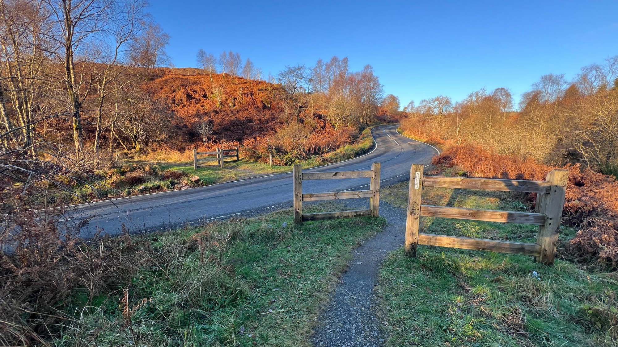
Forest path from The Lodge Forest Visitors to the A821 (Dukes Pass)
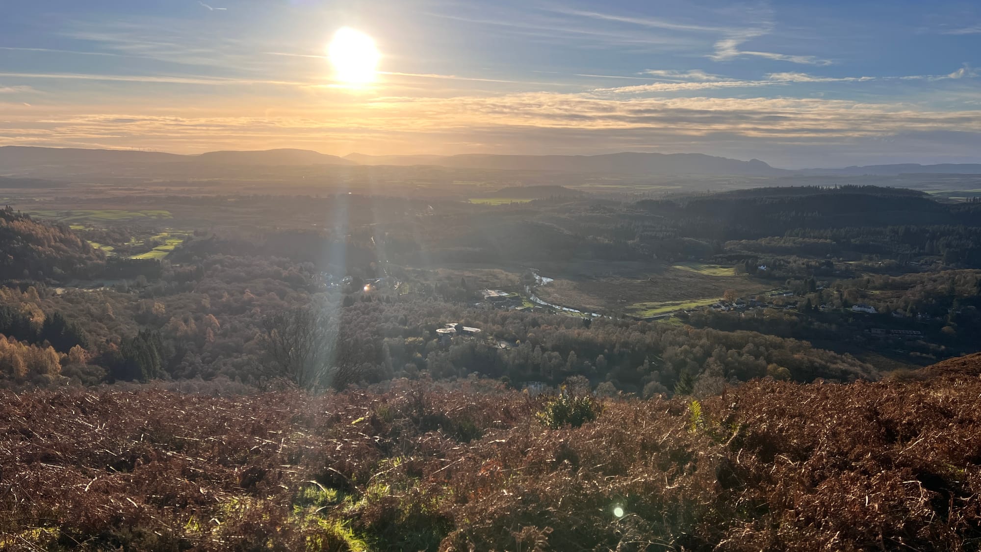
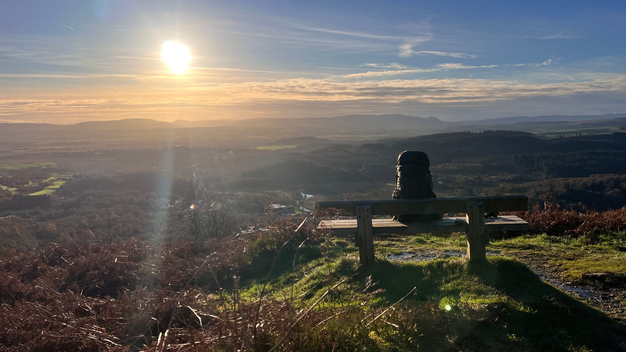
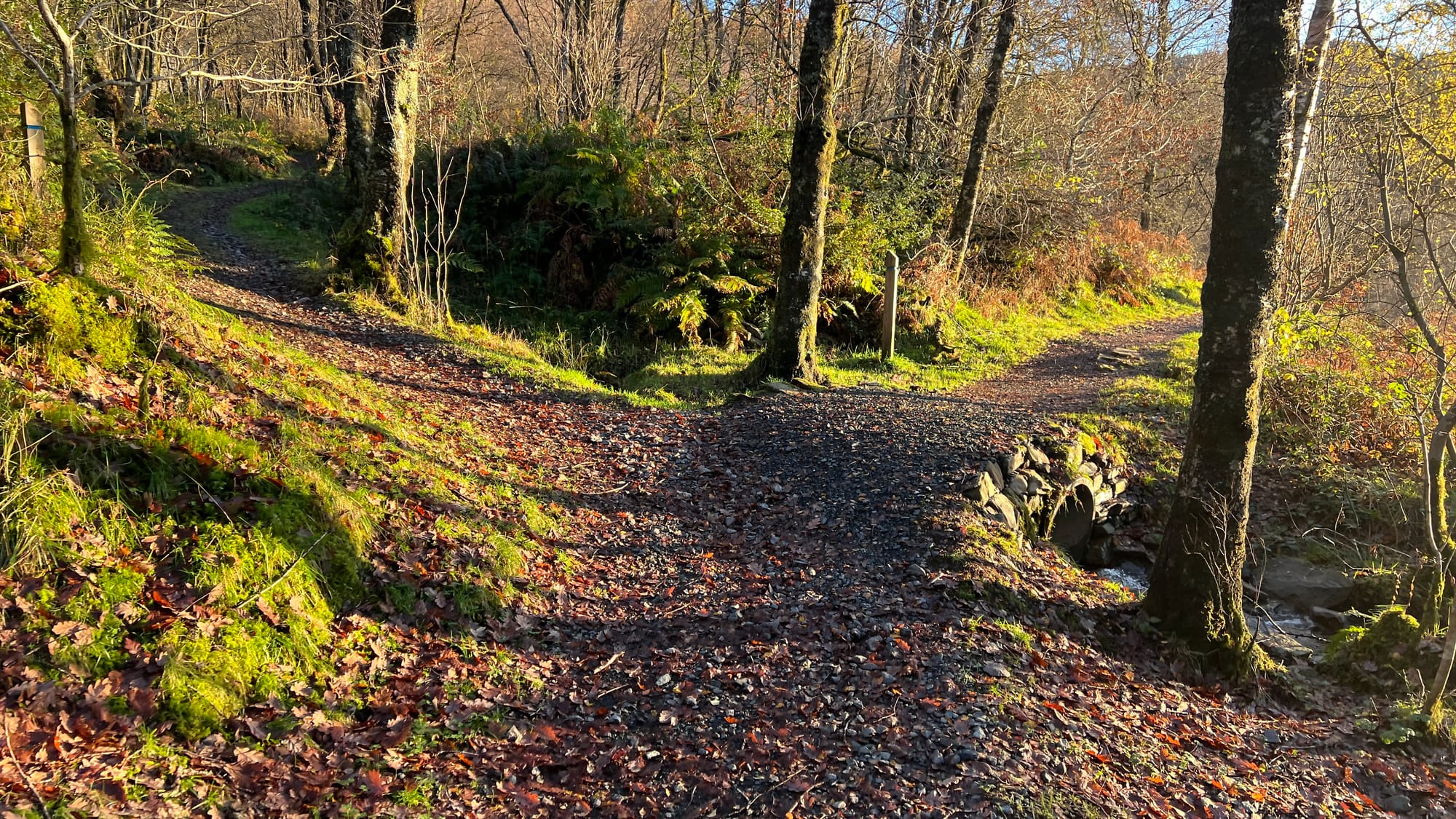
A821 to the bench on a well made hill trail with stone steps

From the bench to the summit the terrain gets rough and boggy
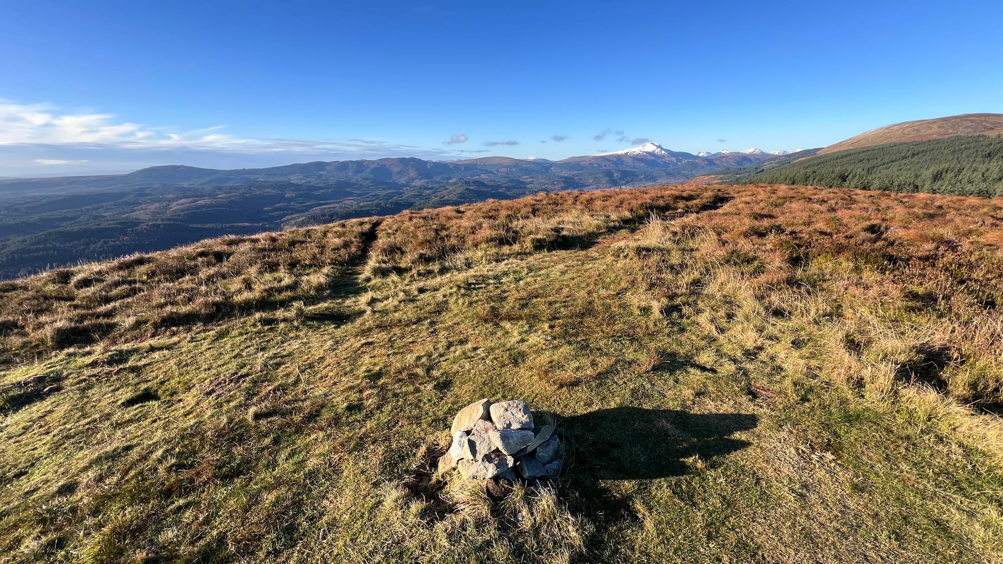
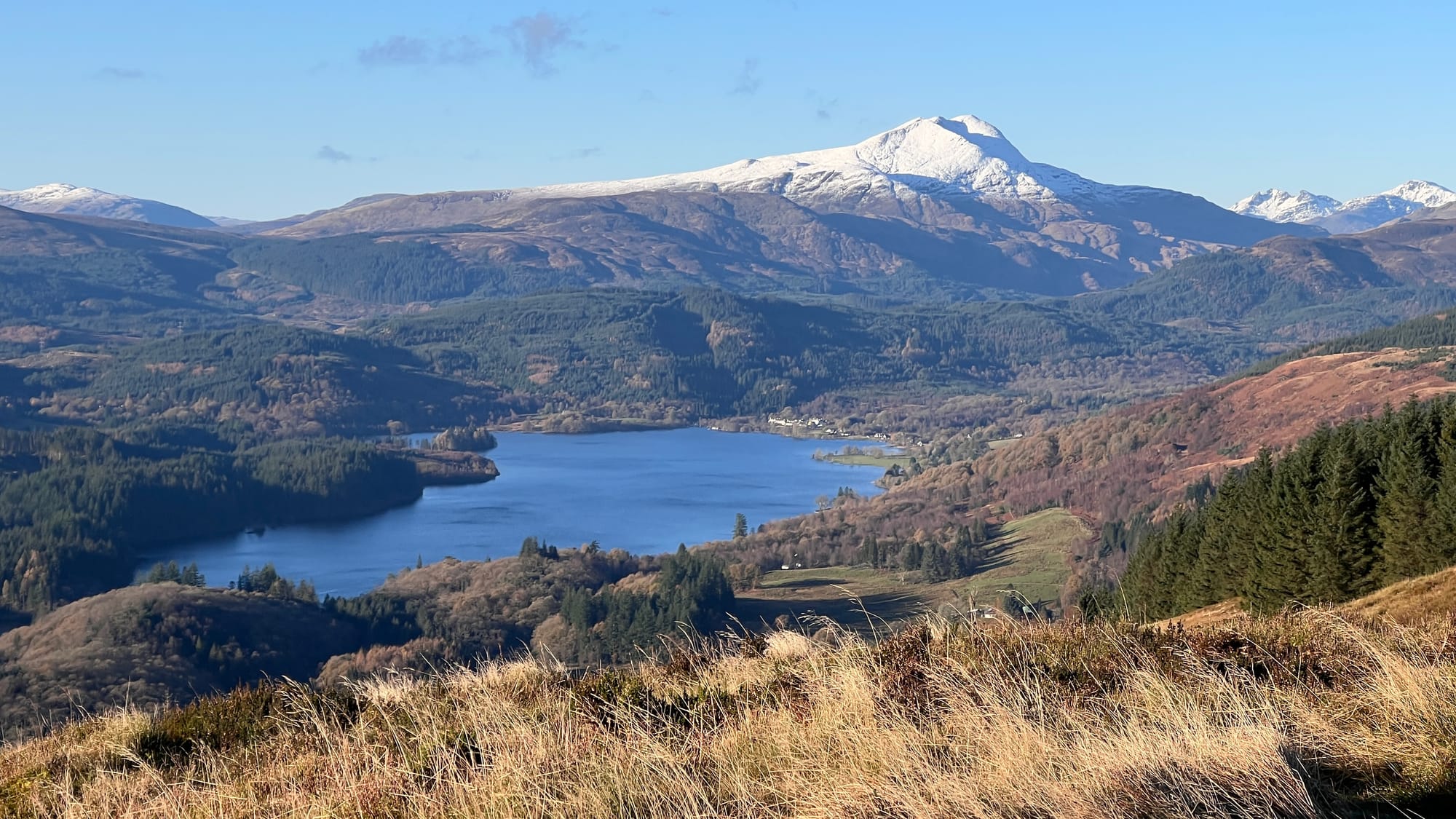
The small summit cairn and view over Loch Ard towards Ben Lomind


Comments